See every aircraft
overhead, live.
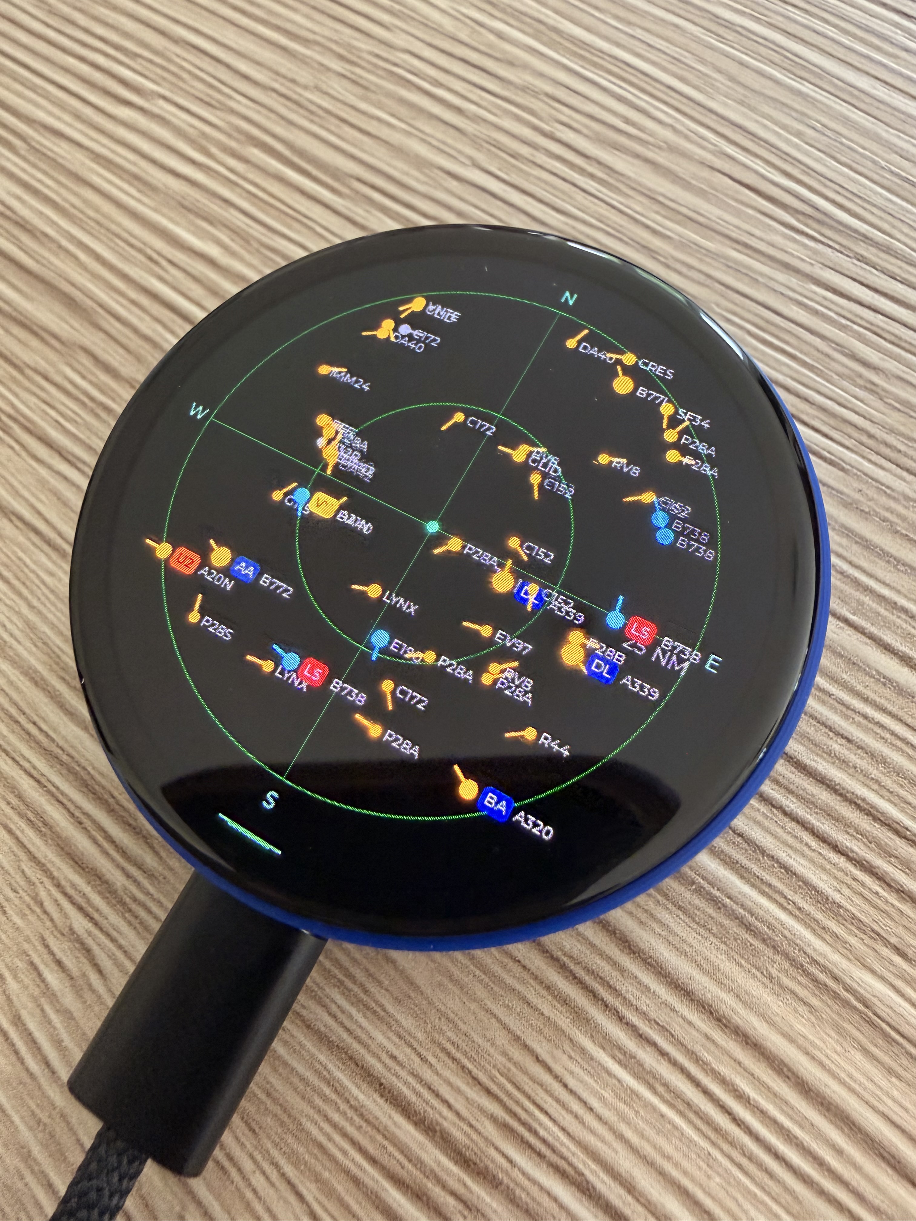
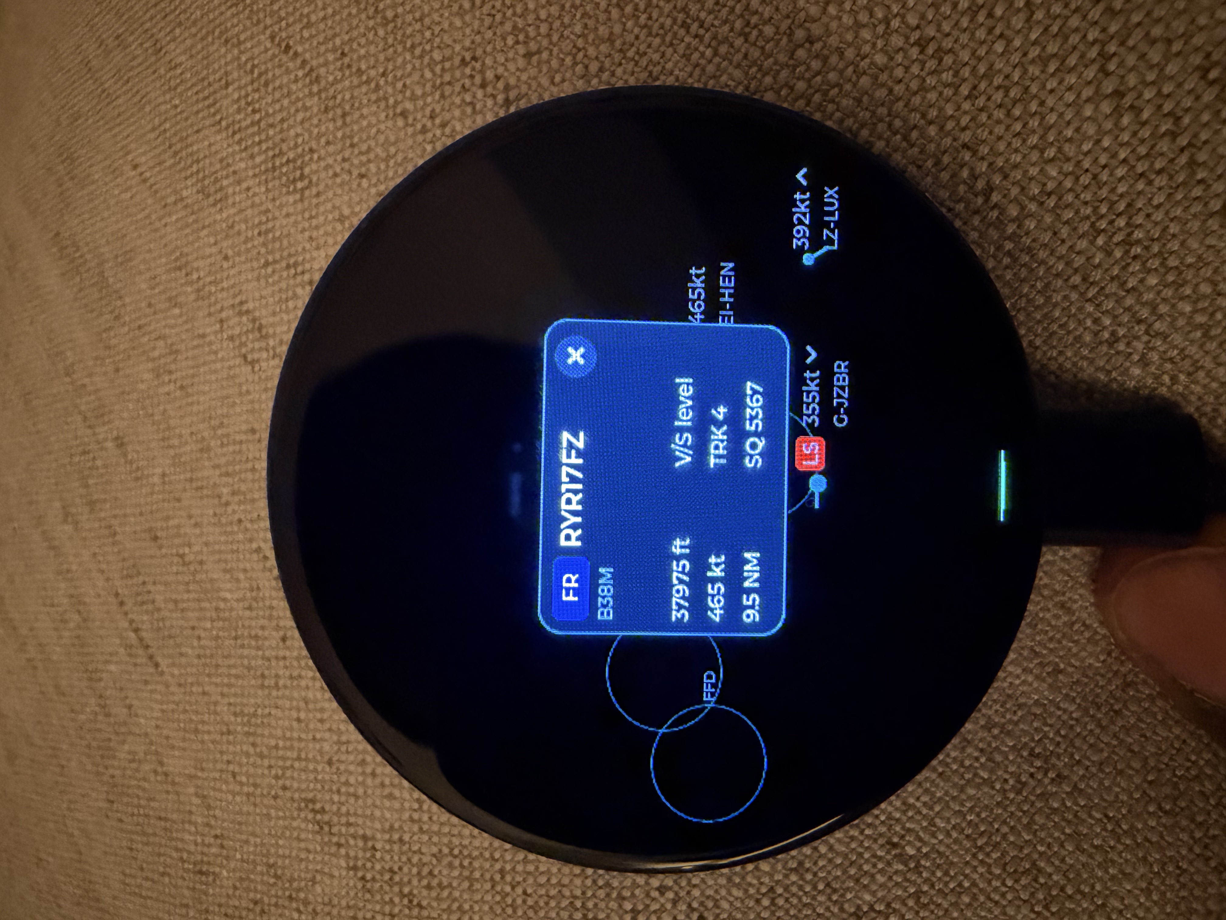
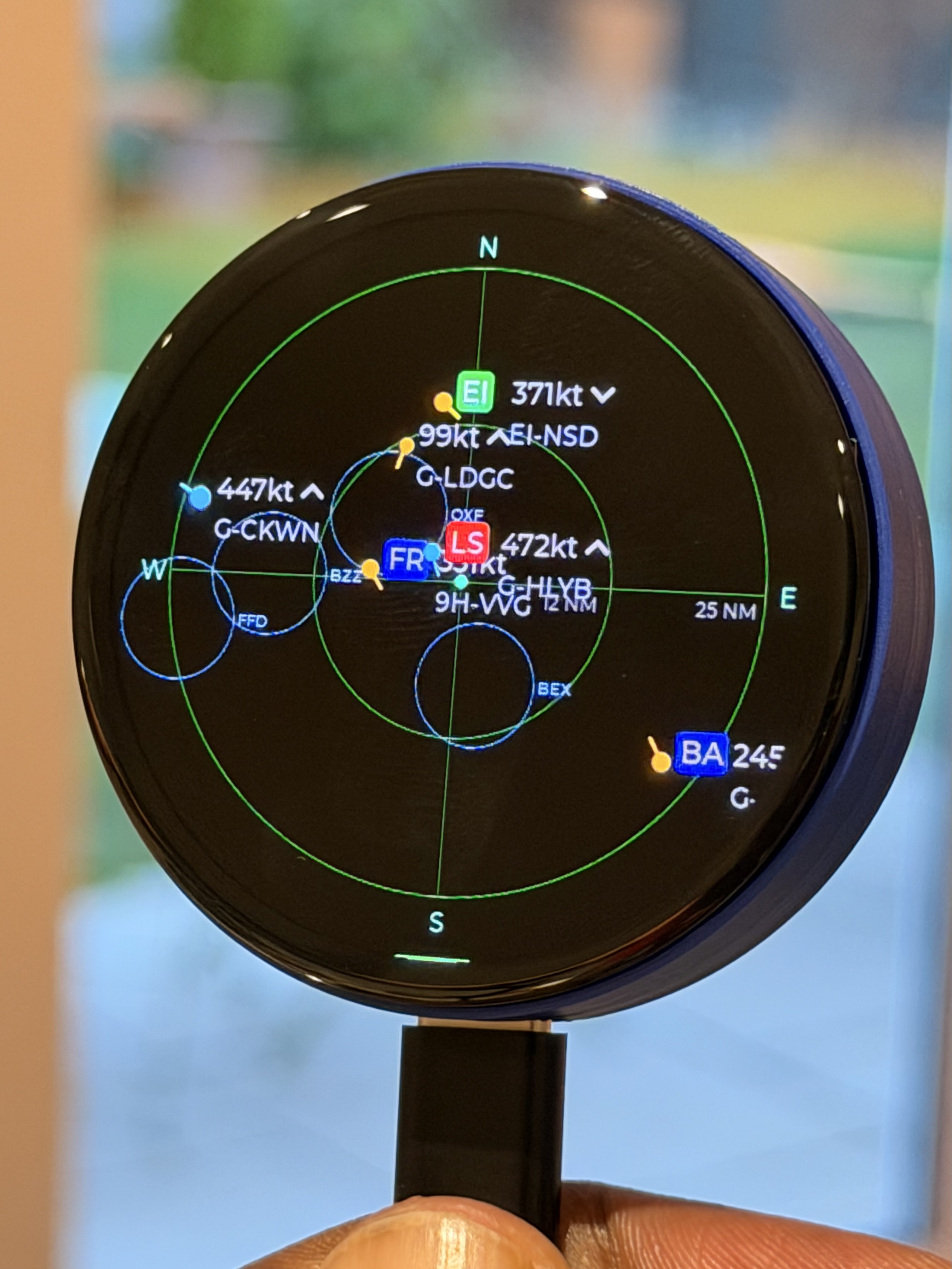
I got a bit obsessed with the planes going over my house, so I'm building a little radar for my desk. It pulls live flight data over Wi-Fi and draws what's overhead on a round screen — range, bearing, altitude, the airline and where it's headed. No phone, no app to fiddle with.
Here's one running on my desk.
A quick clip of the scope in action — blips moving across, tap one and the whole readout comes up. Still rough around the edges, but it works.
Watch the longer walkthrough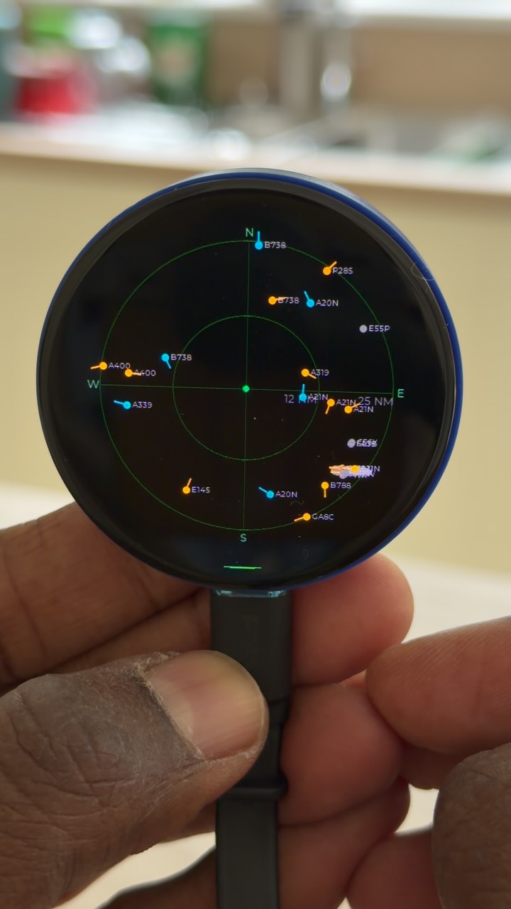
Clear, sharp, colour touch screen in the real world
A few honest answers
How do you set it up?
Plug it into power, then set your Wi-Fi and location right on the round screen — set your location the easy way by airport code (type a nearby one like LHR or EGLL), or by a geohash or lat/long. Prefer your phone? Join the device's RadarGauge hotspot and a setup page opens by itself — pick your Wi-Fi and location there. No app to install either way.
What does it need to run?
USB-C power (it usually draws under 1 W) and a 2.4 GHz Wi-Fi network. A phone hotspot works too — I've run it off my iPhone.
Does it have a real radar or ADS-B receiver inside?
No — there's no antenna and nothing pulled out of the air. It relays live flight data from the internet over Wi-Fi.
Can I use it in a plane?
Please don't. It's a leisure gadget for your desk, to show what's overhead — not for use in the air.
Is it TCAS?
No — and please never rely on it as one. It needs the internet and is nowhere near the fidelity a real collision-avoidance system requires.
Aren't there cheaper ones?
Yes. There are £50–70 builds with a low-resolution touch screen — if that fits your budget, go for it. I found them after building mine; I wanted a high-resolution AMOLED I can tap for rich, colourful detail when something interesting flies over. There are also larger flight-display units, usually £180+.
Can I build one myself?
For now I'm keeping my own code private — that was the hard part. But there are some genuinely cool open-source projects you can build instead:
- Desk Radar (functioning) — MakerWorld
- ESP32 Plane Radar, live ADS-B on a round display — MakerWorld
- ESP32 ultrasonic radar (a different, genuine radar) — GitHub
- Rectangular flight radar (TTGO, going since 2019) — GitHub
- “I Built a Radar That Tracks Planes Over My House” — YouTube
- DeskFlight (ESP32-S3 round AMOLED, live ADS-B) — GitHub